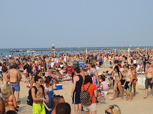
North Avenue Beach
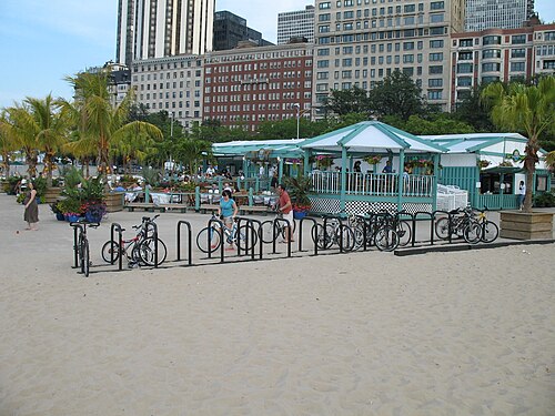
North Avenue Beach is Chicago's most prominent central beach and an active lakefront hub. Located along Lake Michigan, it serves as a major recreational destination for residents and visitors.
- Must see
- Nature site
City guide · United States
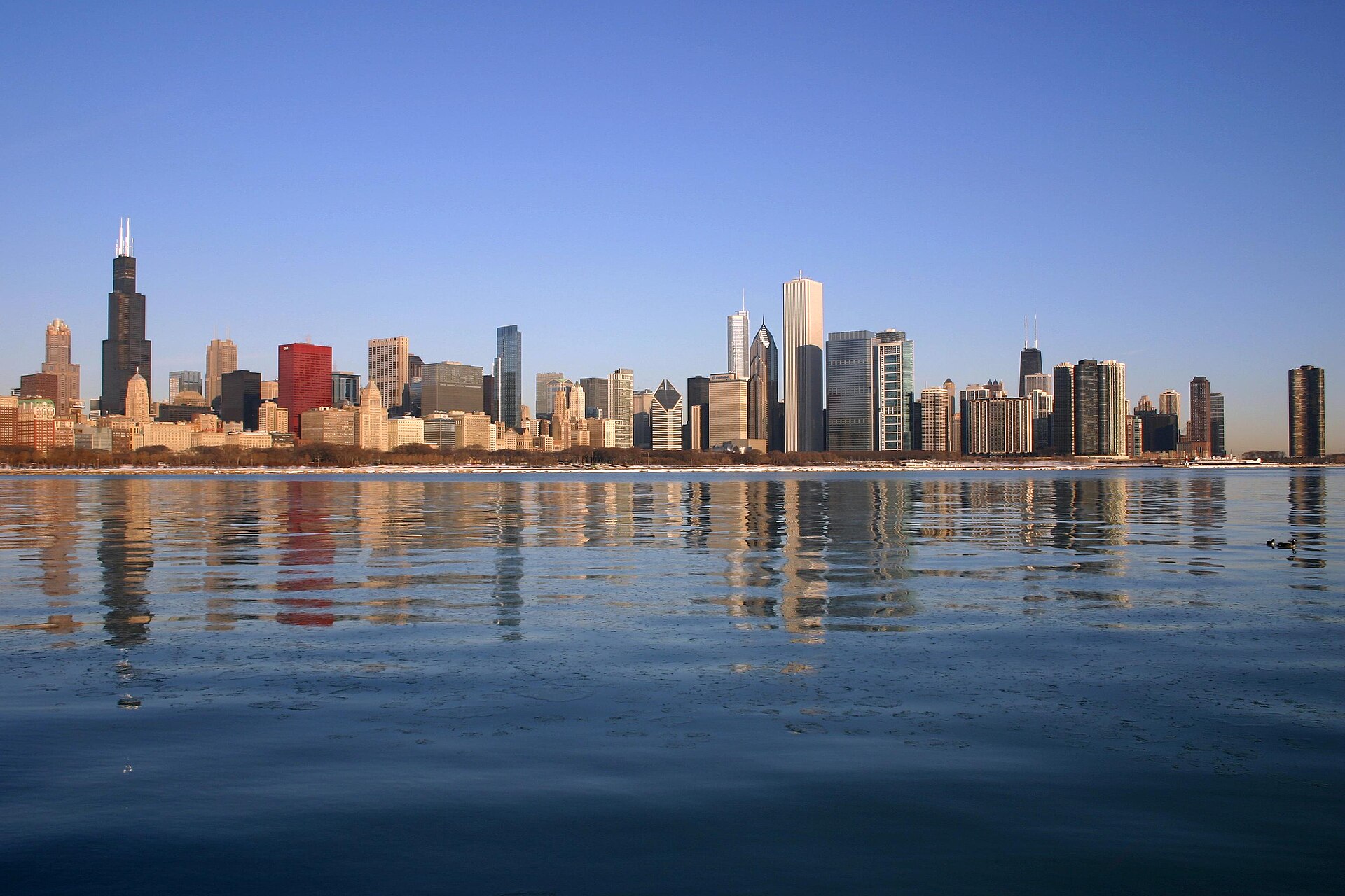
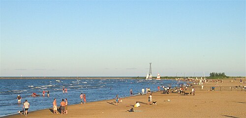
Chicago is organised around Lake Michigan, the Chicago River and a regular street grid. The Loop contains the central business district, major architecture and...
Photograph · J. Crocker · Attribution
Set your days, your pace and the hours you actually want to be out. The planner works around closing days and travel time, and leaves room to eat.
Reviewed by Elena Voss · Roavina Travel Editor
Chicago is organised around Lake Michigan, the Chicago River and a regular street grid. The Loop contains the central business district, major architecture and Millennium Park; museum campuses and lakefront parks extend south, while River North, Lincoln Park and neighbourhood centres continue north and west. A first visit works best when downtown sights are grouped together and separate time is reserved for one or two neighbourhoods beyond the Loop.
Checked 2026-08-26
September · September cools Chicago to a 75.5°F mean high while normal precipitation drops to 3.19 inches.
Ranked by importance — sitelinks, pageviews and heritage status, not editor preference.
20 places match
Category
Typical visit duration
Interests
North Avenue Beach is Chicago's most prominent central beach and an active lakefront hub. Located along Lake Michigan, it serves as a major recreational destination for residents and visitors.
Montrose Beach
Montrose Beach is a public beach on the North Side of Chicago. It sits along Lake Michigan with adjacent natural areas that serve as bird habitat.
Oak Street Beach is a public beach on the Lake Michigan shoreline in Chicago's Near North Side. It sits directly below the Gold Coast neighborhood, one of the city's most affluent residential districts.
Margaret Burroughs Beach
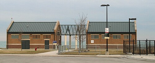
31st Street Beach is a public beach on Lake Michigan in Chicago, Illinois. It sits on the city's South Side within the Burnham Park lakefront system.
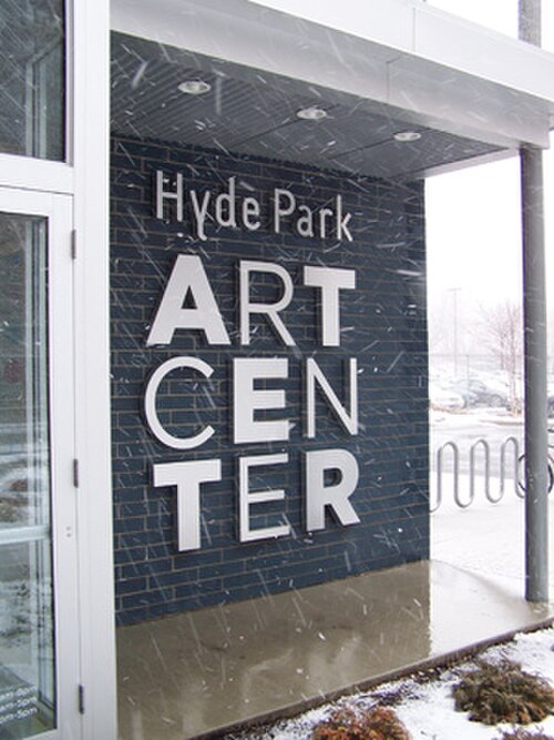
Hyde Park Art Center is an independent nonprofit contemporary-art space and community arts hub in Chicago's Hyde Park neighborhood. Founded in 1939, the center is one of the city's oldest alternative exhibition spaces.
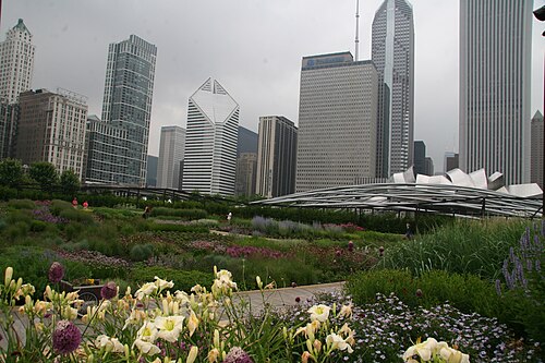
Lurie Garden is a public garden within Millennium Park in downtown Chicago. Named for philanthropist Ann Lurie, it occupies the park’s northwest section and creates a planted refuge among the city’s buildings, public art, and busy pedestrian routes.
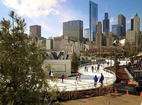
Maggie Daley Park is a large downtown recreation park in Chicago, Illinois. It adjoins Millennium Park and is named in honour of Maggie Daley, the former first lady of Chicago.
Jackson Park is a large public park on Chicago's South Side lakefront. Its landscape is closely associated with the 1893 World's Columbian Exposition, whose planning and legacy shaped this part of the city.
Northerly Island is a 91-acre peninsula and former airport site on Chicago's lakefront, converted into a public park and natural area. It extends into Lake Michigan south of the Museum Campus.
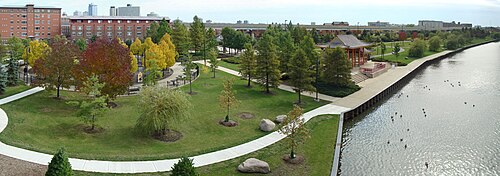
Ping Tom Memorial Park is a riverfront public park in Chicago's Chinatown. It brings open space, walking paths, lawns, trees, seating, and water views into a dense urban neighborhood.
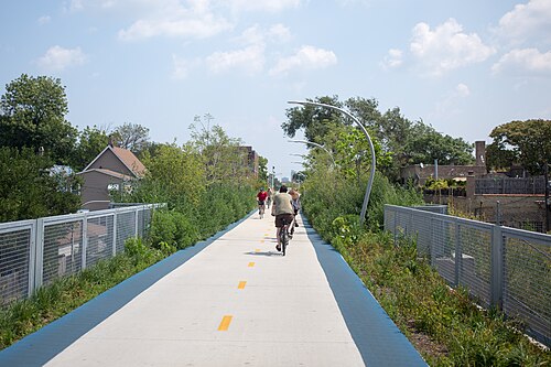
The 606 is an elevated linear park and trail system on Chicago's Northwest Side. Built on a former railway embankment, it runs through several neighborhoods.
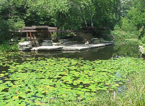
The Alfred Caldwell Lily Pool is a restored Prairie-style pond and landscape located in Chicago's Lincoln Park. Designed by landscape architect Alfred Caldwell in the 1930s, this hidden gem exemplifies the organic architectural philosophy of the Prairie School movement.
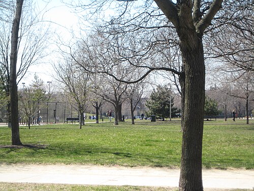
Oz Park is a neighbourhood park in Chicago’s Lincoln Park area, known for its public art inspired by L. Frank Baum’s The Wonderful Wizard of Oz.
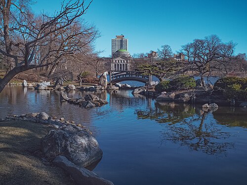
The Garden of the Phoenix is a Japanese garden on Wooded Island in Chicago’s Jackson Park. It occupies the site of the Japanese Pavilion associated with the 1893 World’s Columbian Exposition and stands near the Museum of Science and Industry.
State Street and Madison Street form the reference point for Chicago's address grid. The Loop sits beside the river and lake, with the Magnificent Mile and River North immediately north. Museum Campus, Hyde Park and Bronzeville lie south; West Loop, Pilsen and Wicker Park extend west and northwest. The lakefront is a continuous orientation line, but neighbourhood distances are substantial, so a map that appears compact can still represent several miles of travel.
Checked 2026-08-26
Walk within the Loop and along the central riverfront, then use CTA trains and buses for neighbourhoods and the airports. The colour-coded rail network connects downtown with the North, West and South Sides; the Blue Line serves O'Hare and the Orange Line serves Midway. Metra is useful for farther suburban trips rather than most central sightseeing. Check the official service map and alerts before travel because planned work can alter routes.
Checked 2026-08-26
A fixed stay length is not recorded. Plan one block for the Loop and river, one for the lakefront museums, and additional time for the neighbourhoods that match your interests.
The Loop is the practical centre, bounded by elevated rail tracks and set beside the river and Lake Michigan. River North and the Magnificent Mile begin immediately north.
Yes. Walk downtown and use CTA trains and buses for the lakefront, neighbourhoods and airports. Metra is mainly useful for destinations farther beyond the central city.
The CTA Blue Line connects O'Hare International Airport with downtown. Consult CTA service alerts before departure because construction or maintenance can affect the normal route.
Not always. The grid makes orientation simple, but the city extends a long way along the lake. Group nearby districts and use transit between the North, West and South Sides.