


7 min walk
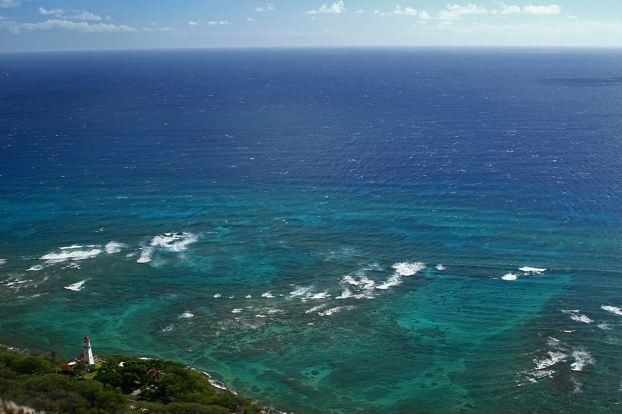
Diamond Head Lighthouse
- High
- Historic site

Viewpoint · Honolulu
| Monday |
06:00 – 18:00
Last entry at 16:30 for 06:00 – 18:00 |
|---|---|
| Tuesday |
06:00 – 18:00
Last entry at 16:30 for 06:00 – 18:00 |
| Wednesday |
06:00 – 18:00
Last entry at 16:30 for 06:00 – 18:00 |
| Thursday |
06:00 – 18:00
Last entry at 16:30 for 06:00 – 18:00 |
| Friday |
06:00 – 18:00
Last entry at 16:30 for 06:00 – 18:00 |
| Saturday |
06:00 – 18:00
Last entry at 16:30 for 06:00 – 18:00 |
| Sunday |
06:00 – 18:00
Last entry at 16:30 for 06:00 – 18:00 |
Checked 2026-10-09 · Source
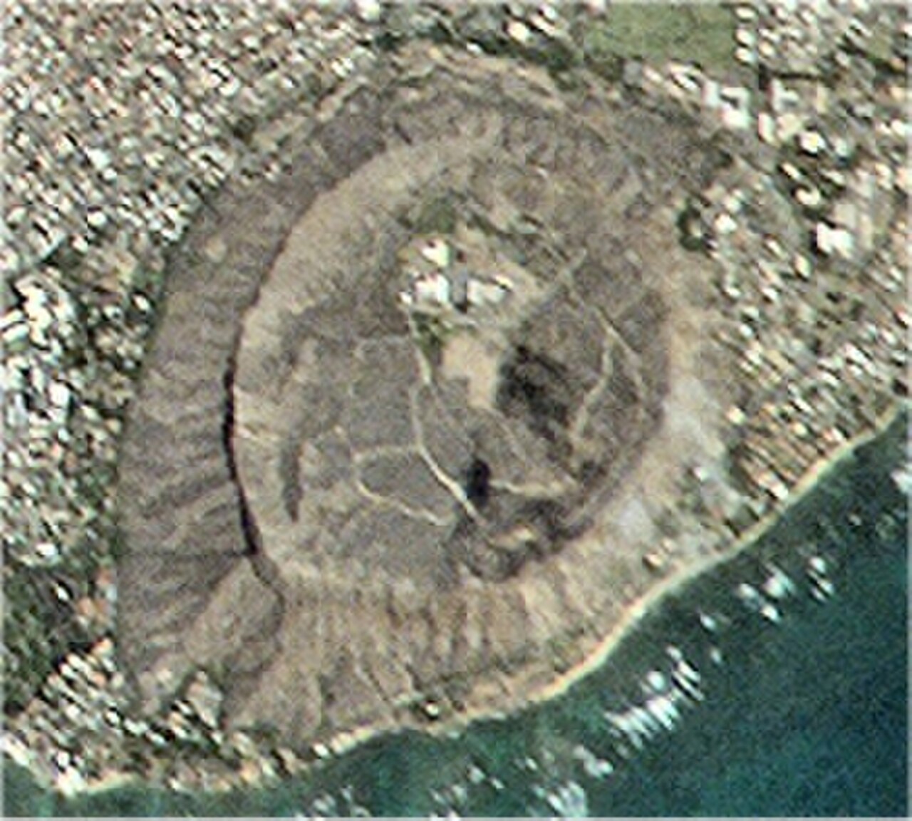
Diamond Head, also called Lēʻahi, is the summit above the crater within Diamond Head State Monument, east of Waikīkī. This page concerns reaching and understanding the viewpoint; the state park controls the trailhead, entry and parking. The park describes the crater as tuff formed by an explosive eruption about 300,000 years ago. A summit outing therefore begins with a park access decision, not a drive to the peak. Reserve the correct entry or parking option if you are not a Hawaiʻi resident, then allow enough time to climb and descend before the gates close.
Checked 2026-10-09 · Source
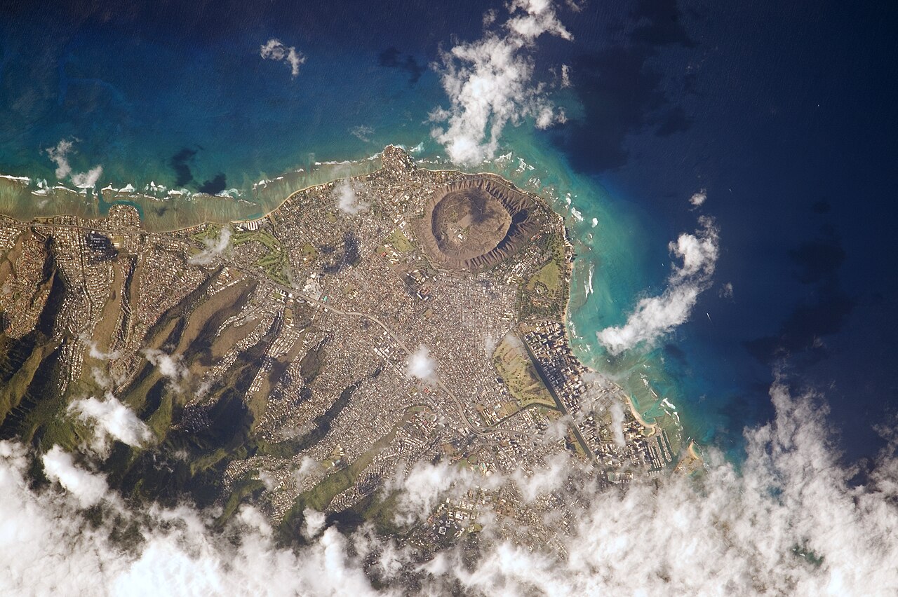
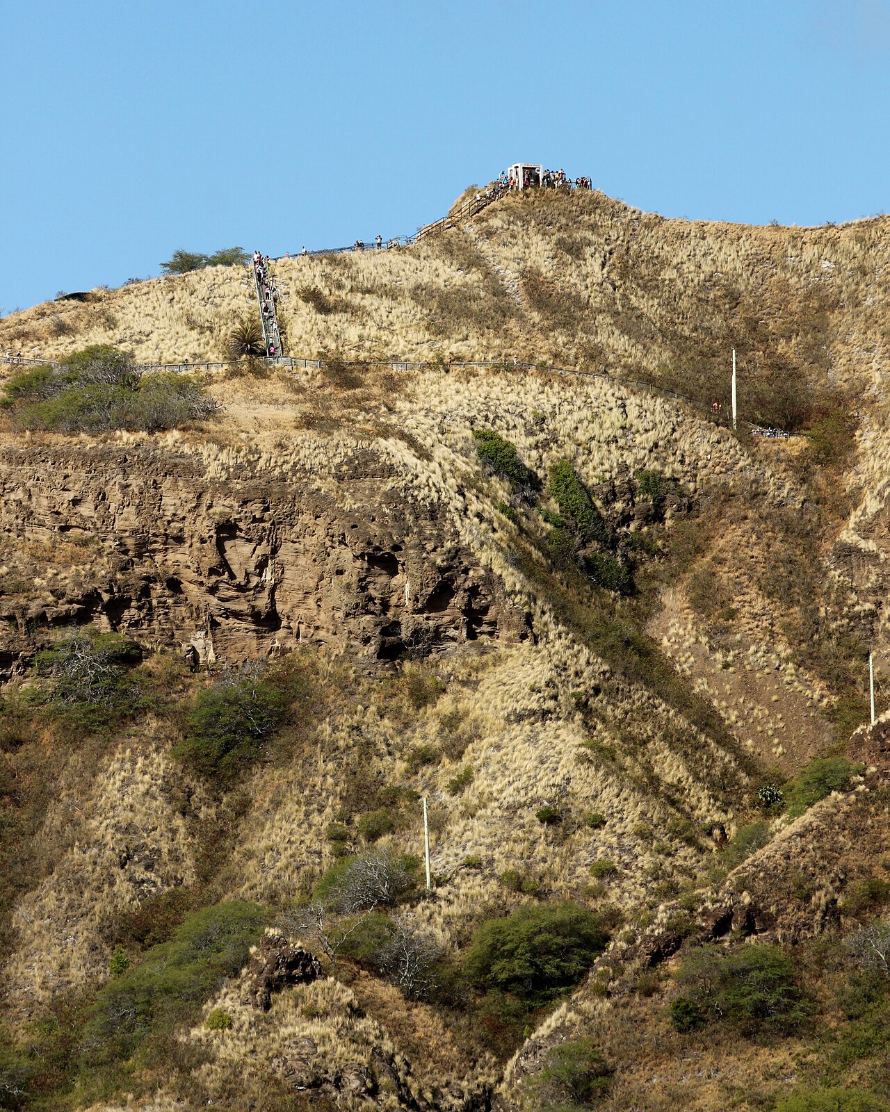
The summit walk crosses the crater interior, then climbs switchbacks on a tuff surface, steep stairs and a lighted 225-foot tunnel. The route reaches a fire-control station completed in 1911, a remnant of Oʻahu's coastal-defense system. Bunkers and a lighthouse built in 1917 add context to the view over the south coast. The interpretive kiosk is on the crater floor, not a substitute for the summit climb. Look for the change from the initial concrete path to natural tuff; it makes the geology visible as well as explaining why footwear matters.
Checked 2026-10-09 · Source
The state park advises 1.5 to 2 hours for the hike, including the return. Its trail description gives 0.8 mile from the crater-floor trailhead to the summit and 560 feet of ascent. That is a more useful planning unit than a brief pause at the viewpoint itself. The last tenth of a mile consists of particularly steep stairs, so allow time for rest and for passing others on narrow sections. If that climb is unsuitable, the accessible crater-floor facilities still offer a different, shorter visit; do not assume the summit path shares their access standard.
Checked 2026-10-09 · Source
The park lists normal gate hours as 6:00 a.m. to 6:00 p.m. daily, with the final hiking reservation at 4:00 p.m. and last entry for it at 4:30 p.m. Everyone must leave by 6:00 p.m.; Christmas Day and New Year's Day are listed closures. These are park access hours, not a promise that every trail condition stays unchanged. Check the operator's notice and reservation availability for your actual date, especially after severe weather. The exposed climb calls for water, a hat and sun protection whatever time you choose.
Checked 2026-10-09 · Source
Non-Hawaiʻi residents need a reservation for entry and, if driving in, for parking. The state park lists a US$5 entry fee per non-resident and a separate US$10 fee per non-resident non-commercial vehicle; Hawaiʻi residents enter and park free with qualifying state ID, and children aged three or younger enter free. The operator specifies credit-card payment only. Choose the walk-in or vehicle option that matches your trip and confirm the live booking total before purchase. A ticket to enter the park is not vehicle parking, and neither allows driving to the summit.
Checked 2026-10-09 · Source
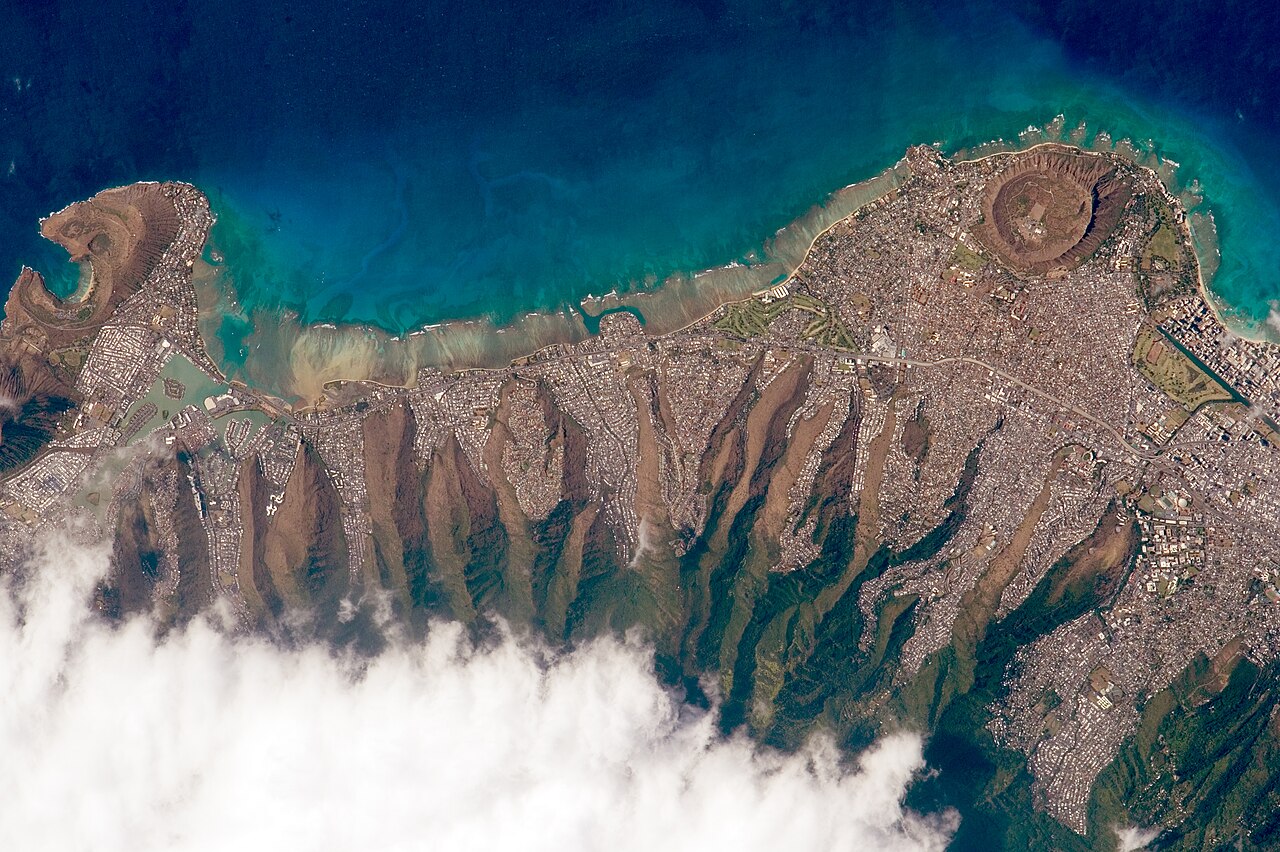
Aim for the state monument's crater-floor trailhead rather than a map pin on the summit ridge. The vehicle approach passes through the park entrance; a parking reservation for a non-resident driver is separate from the person's entry. If you arrive without a car, use the operator's entry booking route and check your chosen transport to the entrance before departure. Once inside, follow the signed summit trail from the crater floor. Do not treat nearby roadside viewpoints or Diamond Head Lighthouse as the summit entrance; they are separate places and do not bypass park rules.
Checked 2026-10-09 · Source
The summit trail is steep and uneven and is not ADA accessible, although the park says its crater-floor facilities are accessible. The final tenth of a mile is especially stair-heavy. Wear walking shoes, carry water and use a hat and sunscreen; do not rely on the tunnel being the difficult part of the climb. Pets are barred except service animals. A 4:00 p.m. reservation still requires entry by 4:30 p.m. and exit by 6:00 p.m., so avoid starting late if your group needs the full 1.5 to 2 hours. Recheck operator notices after storms.
Checked 2026-10-09 · Source
The summit frames Honolulu's coast, the crater rim and the lighthouse, but the viewpoint is reached by a narrow shared walking route. Make photographs from a safe stopping point rather than blocking stairs or the tunnel. The park describes the coastal panorama and notes that winter views may include humpback whales; wildlife sightings are possible, not promised. The operator page consulted does not state a general still-camera or tripod permission rule, so follow posted instructions and staff direction on the day. A photo stop must still fit within the gate closing time.
Checked 2026-10-09 · Source
Non-Hawaiʻi residents need an entry reservation, and drivers also need a parking reservation. The summit itself is reached on foot from the state monument trailhead.
The last hiking reservation is at 4:00 p.m.; entry for that slot closes at 4:30 p.m., and everyone must leave the park by 6:00 p.m. Check the operator for your date.
The state park lists US$5 per non-resident for entry and US$10 per non-resident non-commercial vehicle for parking. It accepts credit cards only; the booking total should be checked before purchase.
Allow 1.5 to 2 hours for the return hike. The trail is 0.8 mile one way, climbs 560 feet and ends with steep stairs after a lighted tunnel.
The park says its crater-floor facilities are accessible, but the steep, uneven summit trail is not ADA accessible. Consider a crater-floor visit instead.
No pets are allowed in the state monument except service animals, according to the park operator.
Loading the interactive map…
The interactive map could not be loaded.
Last updated:
Source: OpenStreetMap contributors, Wikidata ·