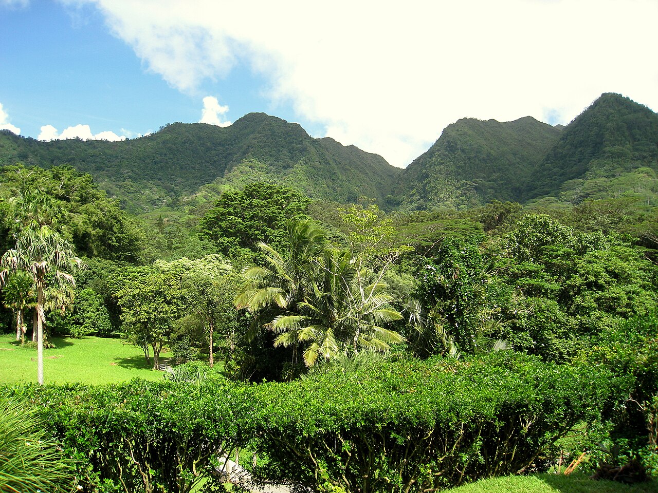
15 min walk
Lyon Arboretum
- Must see
- Nature site
Viewpoint · Honolulu
Mount Tantalus (Puʻu ʻōhiʻa) is an extinct cinder cone in the southern Koʻolau Range on Oʻahu, rising to 2,014 ft (614 m), with a summit crater known as Tantalus Crater. It formed after the demise of Koʻolau Volcano, during the rejuvenated-stage volcanism that also created Punchbowl Crater, Diamond Head and Koko Head as part of the Honolulu Volcanics. Tantalus overlooks Honolulu, which is built on top of its cinders, and a paved road reaches it. It was named in the 19th century by students from Punahou School after the mythological Greek Tantalus.
Checked 2026-11-05 · Source
The 6-mile (9.7 km) Tantalus Loop was a popular wagon trail from the late 1800s for views and picnic parties, passing canyons, wooded valleys, eucalyptus, guava and monkeypod trees. As part of the U.S. Army's coastal artillery defence system, a fire-control station was built on Tantalus, working with the station at Diamond Head, and the southern slope was bombed in Operation K, Japan's unsuccessful second attack on Oʻahu, on 4 March 1942. Today Tantalus is a popular destination for hikers, road cyclists and skateboarders, and since 1974 the Tantalus Time Trial bicycle race has run from the bottom to the top of the loop.
Checked 2026-11-05 · Source
2,014 ft (614 m).
It is an extinct cinder cone with a summit crater, part of the Honolulu Volcanics.
Students from Honolulu's Punahou School named it in the 19th century after Tantalus of Greek mythology.
Loading the interactive map…
The interactive map could not be loaded.

Last updated:
Source: OpenStreetMap contributors, Wikidata ·