Queen Sirikit Botanic Garden
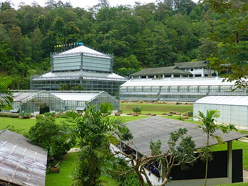
Queen Sirikit Botanic Garden is a botanical garden in Chiang Mai Province, northern Thailand. It serves as a major centre for botanical research and plant conservation in the region.
- Must see
- Nature site
- Chiang Mai
Country guide
Thailand is 513,120 km² and 76 provinces, plus Bangkok, which is not a province at all but a special administrative area with an elected governor of its own. Th...
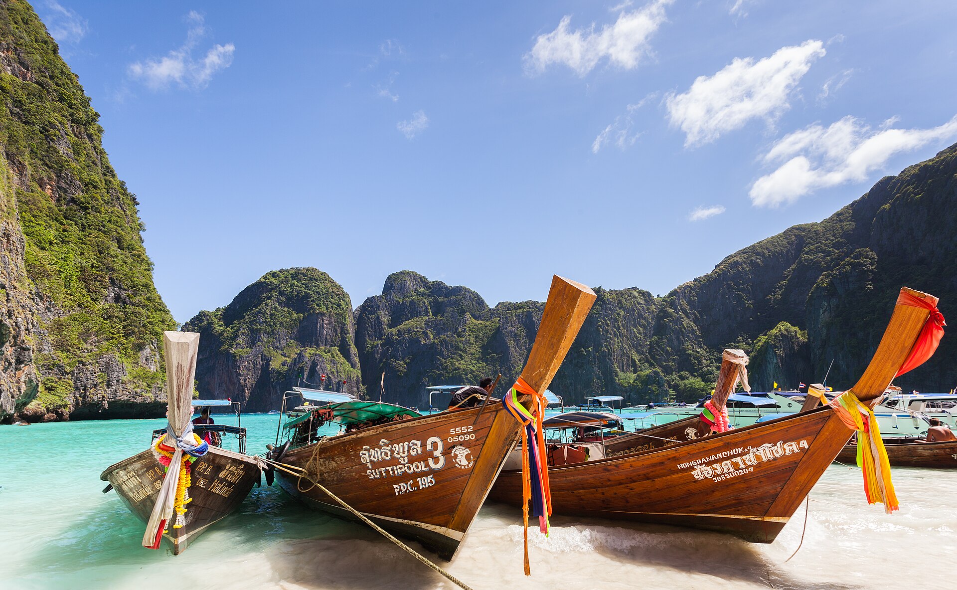
Photograph · Diego Delso · CC BY-SA 3.0
Reviewed by Elena Voss · Roavina Travel Editor
Thailand is 513,120 km² and 76 provinces, plus Bangkok, which is not a province at all but a special administrative area with an elected governor of its own. The 65,975,198 people counted in 2024 spread across four regions that behave like four separate trips: the central plain along the Chao Phraya, the north around Chiang Mai and the old Lan Na kingdom, the Khorat Plateau in the northeast, and the long strip of the Malay Peninsula in the south. Most itineraries take two of the four. Taking all four is largely a schedule of internal flights.
Checked 2026-08-25
Every city catalogued in this country so far, ranked by how much there is to see.
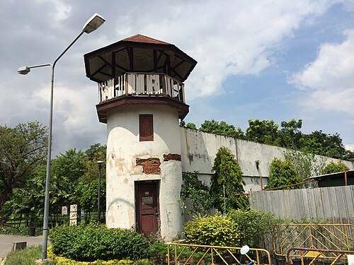
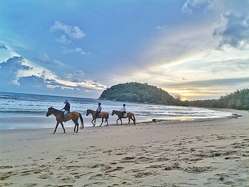
Photograph · Preecha.MJ · CC BY-SA 4.0
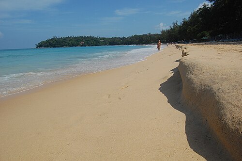
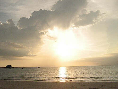
Photograph · Ryomaandres · CC BY-SA 4.0
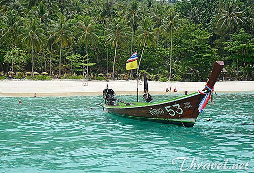
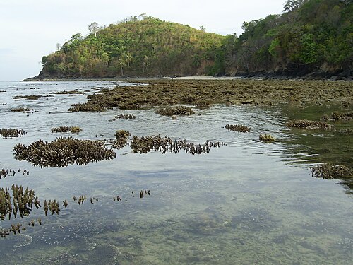
Photograph · Supanut Arunoprayote · CC BY 4.0
Seasonal closures come from recorded opening hours.
Ranked by importance — sitelinks, pageviews and heritage status, not editor preference.
30 places match
Category
Typical visit duration
Interests
Queen Sirikit Botanic Garden is a botanical garden in Chiang Mai Province, northern Thailand. It serves as a major centre for botanical research and plant conservation in the region.
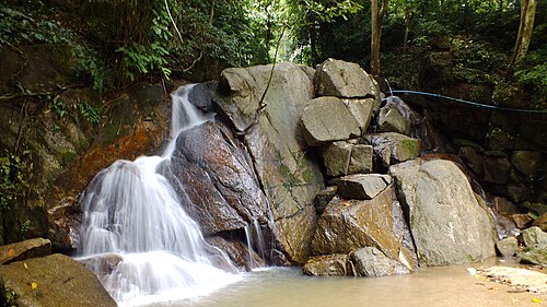
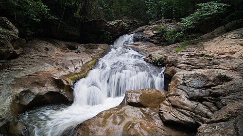
Mae Sa Waterfall is a multi-tiered cascade situated in the Mae Sa Valley area north of Chiang Mai city, within the broader mountainous terrain of northern Thailand.
Ob Khan National Park is a protected natural area located in Chiang Mai Province, northern Thailand. The park encompasses forested mountain terrain, river valleys, and limestone formations characteristic of the region's geography.
สวนรมณีนาถ
Rommaninat Park, also known locally as สวนรมณีนาถ, is a public green space in Bangkok. It gives residents and travellers a place to pause, walk, and spend time outdoors within the dense urban environment.
หาดกะตะ
Kata Beach is a major west-coast beach on the island of Phuket, Thailand. It holds broad visitor recognition and functions as a distinct resort centre within the island's coastal tourism landscape.
หาดกะรน
Karon Beach is a broad sandy beach on Phuket's western shore, between Patong and Kata. Its spacious coastline suits travelers who want a substantial beach day with room for swimming, walking, relaxing, and watching the sunset.
หาดบางเทา
Bang Tao Beach is a long beach on Phuket’s north-west coast, surrounded by a substantial resort district.
หาดไม้ขาว
Mai Khao Beach is the longest beach on Phuket island, stretching along the northern coast. It forms part of the Sirinat National Park and serves as one of the most significant sea-turtle nesting sites in Thailand.
Rawai Beach
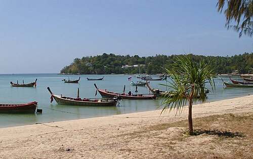
Rawai Beach is a working coastal settlement at the southern tip of Phuket. Fishing vessels and longtail boats gather along the east-facing shore, giving Rawai a maritime character different from Phuket’s western resort beaches.
Banana Beach
Banana Beach is a coastal area on Phuket's western shoreline. Its name refers to banana plants in the vicinity, while the place itself is defined by sand, tropical vegetation, and the Andaman Sea setting.
หาดในหาน
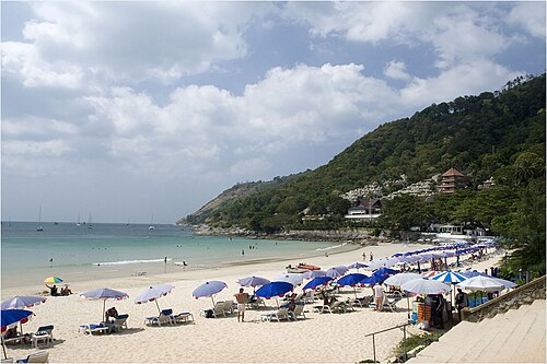
Nai Harn Beach is a substantial south-coast beach on Phuket, valued for swimming, shoreline time, and its established visitor setting.
Nakalay Beach is a Phuket shoreline on the Andaman Sea, offering a coastal alternative to the island’s busiest resort beaches. It belongs in a west-coast day for travelers who want sand, tropical scenery, and time beside the water.
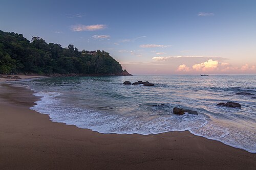
Pansea Beach is a secluded cove on the western coast of Phuket, Thailand. It sits between Surin Beach to the south and Laem Singh Beach to the north, nestled against granite headlands.
หาดสุรินทร์
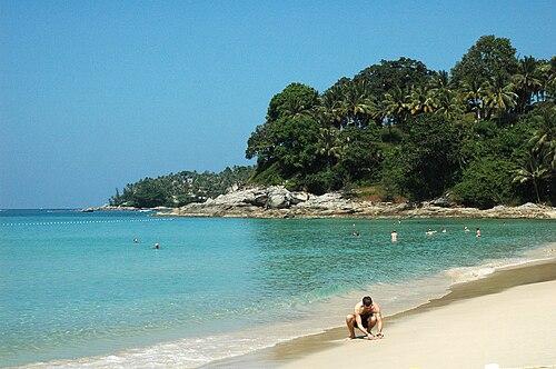
Surin Beach is a west-coast beach on Phuket’s Andaman Sea shore, north of Kamala Beach and south of Bang Tao Beach. Its curved bay combines sand, seawater, and coastal scenery.
Ao Yon Beach is a southeastern Phuket shoreline on the Cape Panwa peninsula. Its sheltered setting, hillside backdrop, local boats, and quieter atmosphere make it a useful alternative to the island’s heavily developed west-coast beaches.
Freedom Beach is a secluded cove on Phuket’s west coast, south of Patong. Forested hills frame its white sandy shoreline, giving the beach a quieter and less commercial character than Phuket’s major resort beaches.
Hua Beach is a coastal access point on Phuket, Thailand’s largest island. The beach belongs to Phuket’s wider Andaman Sea landscape of sandy shores, tropical vegetation and inland hills.
Kalim Beach is a narrow, irregular coastal stretch between Patong and Kamala on Phuket’s west coast. Rocky headlands and small sandy coves give Kalim a different character from Patong’s long uninterrupted beach.
Kathu Waterfall is a natural waterfall in Kathu district, inland from Phuket’s better-known west-coast beaches. The site gives a Phuket day a forest setting, with falling water, tropical vegetation, rock and pools replacing the developed shoreline.
Layan Beach is a coastal area located on the northwest coast of Phuket, Thailand. It sits near the southern end of Bang Tao Bay, adjacent to the more developed Laguna Phuket resort complex.
Merlin Beach is a west-coast shoreline on Phuket, set beside resort development and the island’s Andaman Sea coast.
Nai Yang Beach is a coastal area located on the northwestern shore of Phuket, Thailand. It sits within the Sirinat National Park boundaries, giving it a protected status compared to more developed beaches on the island.
Panwa Beach is a coastal area on the southeastern side of Phuket Island, Thailand. It sits within Cape Panwa, a peninsula known for quieter shores compared to Phuket's busier western beaches.
Paradise Beach is a sandy coastal destination on Phuket’s Andaman Sea shore. The beach offers a compact setting for swimming, shoreline activity and time beside the water, within the wider beach landscape of southern Thailand.
Ten to fourteen days allows three or four days in Bangkok, about three in Chiang Mai, and a separate southern base. If an island follows an international arrival, keep a spare transfer day because the last road or ferry connection may not align with the flight.
Thailand's entry permission depends on the traveller's passport, purpose, and stay length. Use the linked Thai immigration guidance to confirm the applicable visa route and whether a Thailand Digital Arrival Card is required for the arrival date.
Bangkok anchors Thailand's transport network. The Tourism Authority of Thailand lists buses, trains, urban rail, vans and songthaews for land journeys, alongside domestic aviation and boat services. Check any island's final sea or road connection separately before booking the inbound leg.
November through February is the broad starting point for this route, not a nationwide weather guarantee. Northern conditions and the monsoon timing on each coast differ, so choose dates around the island or ferry leg rather than Bangkok alone.
Thailand uses the Thai baht (THB). Cards may work in larger hotels and businesses, but market purchases and some island transport can require cash, so retain a modest baht reserve without assuming a particular exchange fee.
Record 191 for police and 1669 for medical emergencies in Thailand. Power is 220 V with Type A, B, C, and O sockets; tap-water safety is not recorded here, so ask the accommodation rather than treating the missing entry as approval.