9 min walk
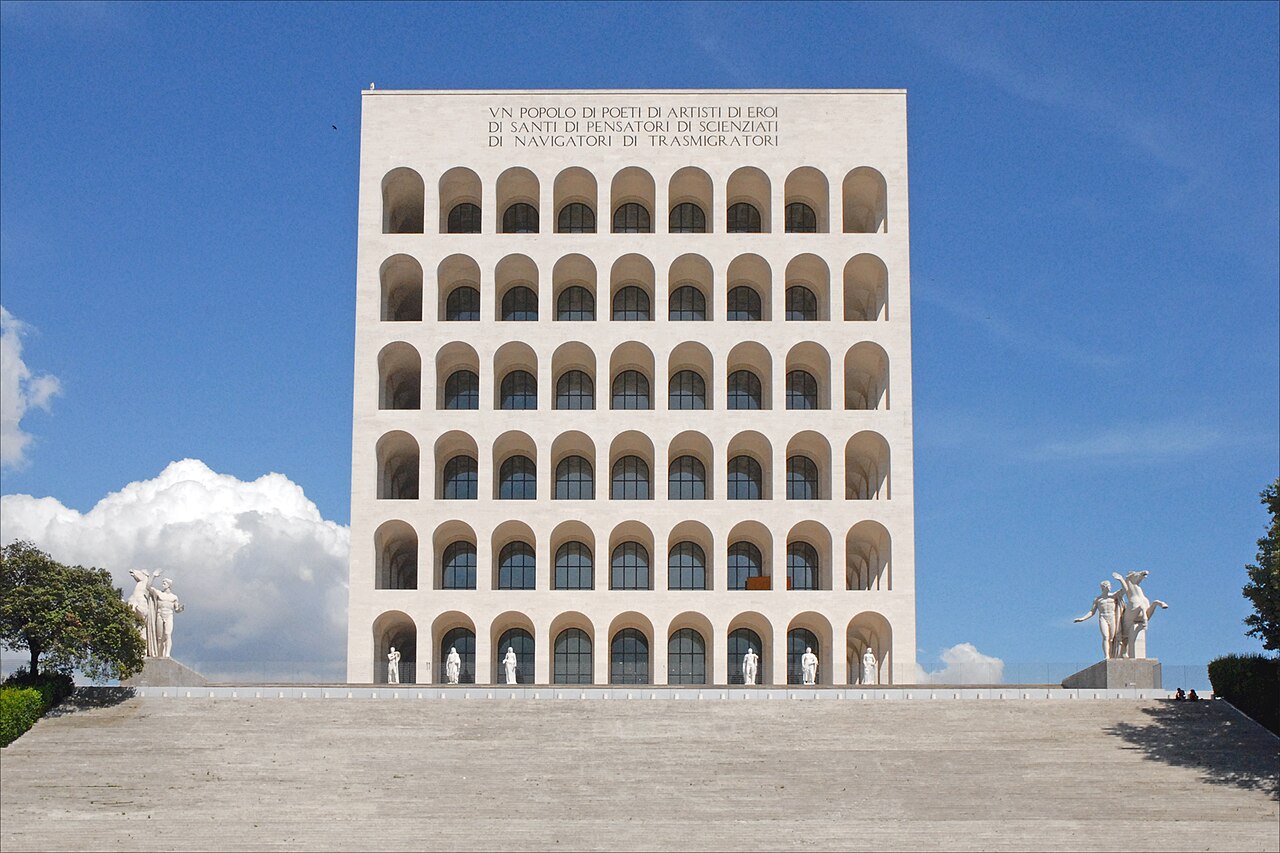
Palazzo della Civiltà Italiana
- Notable
- Historic site
Historic site · Rome
E.U.R.
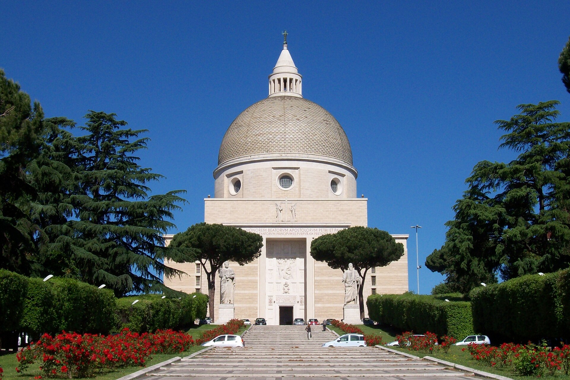
EUR is a residential area and Rome's main business district, in Municipio IX in the south-west of the city. It was chosen in the 1930s as the site of the 1942 World's Fair that Mussolini planned for the twentieth anniversary of Fascism; the letters stand for Esposizione Universale Roma. The district was also meant to steer the city's growth towards the south-west and the sea and to become a new centre for Rome. Because of the Second World War, the exhibition never took place.
Checked 2026-11-10 · Source
Italy's national tourism portal describes EUR as a majestic, futuristic urban complex. The district is laid out around Piazza Guglielmo Marconi and its modern obelisk. Its symbol is the Palace of Roman Civilization, which locals nickname the Square Colosseum: inspired by metaphysical art, it is a 68-metre travertine block with 216 arches spread across its four facades.
Checked 2026-11-10 · Source
Esposizione Universale Roma, the Rome Universal Exposition planned for 1942.
Loading the interactive map…
The interactive map could not be loaded.
Last updated:
Source: OpenStreetMap contributors, Wikidata ·