
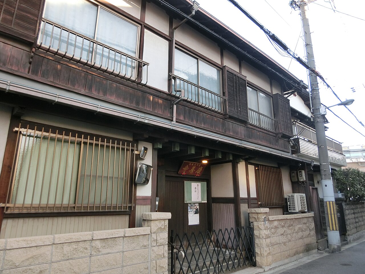
17 min walk
慶善寺
- High
- Place of worship
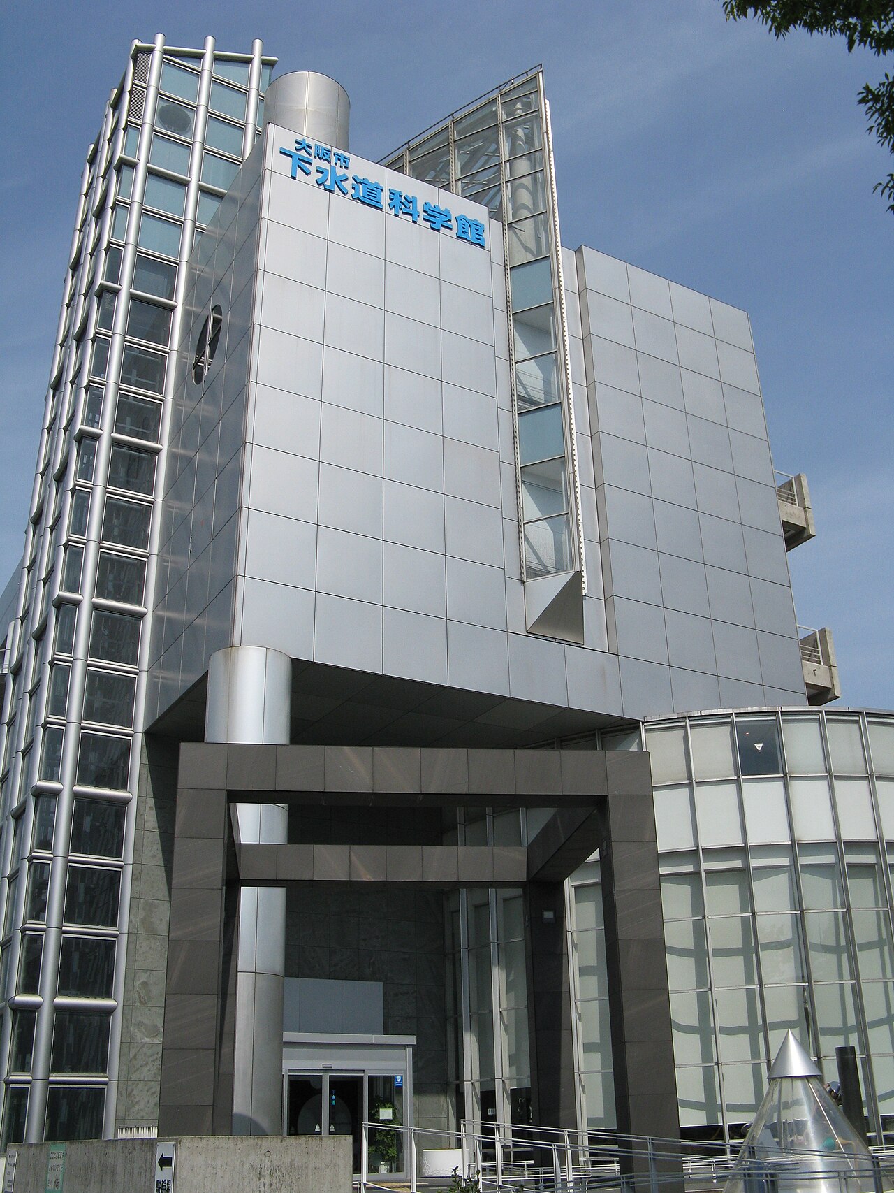
Museum · Osaka
大阪市下水道科学館
Osaka City Sewerage Science Museum is a public educational museum devoted to urban wastewater management. Its subject connects engineering, public health, environmental responsibility, and the practical systems that allow a dense city to function. The museum gives visitors a different perspective on Osaka by explaining infrastructure normally hidden beneath streets. It suits travelers interested in science, municipal services, technology, and the relationship between population growth and sanitation. The Osaka City Sewerage Science Museum is a public educational facility operated by Osaka City Government. It presents the history, technology, and environmental significance of urban wastewater management. The museum occupies a purpose-built structure within the city's sewerage infrastructure zone. Its establishment reflects Osaka's long commitment to public sanitation engineering, dating to the early modern period when the city developed pioneering water treatment systems for its dense urban population.
Checked 2026-08-26 · Source
The museum presents the development of Osaka’s sewer network through interactive displays, historical photographs, equipment specimens, and models of pumping and treatment systems. Exhibits explain how wastewater moves through mechanical and biological purification processes before discharge or reuse. Panels connect sanitation with the city’s growth and industrial development. Hands-on elements introduce filtration and flow principles, making the subject more tangible for visitors who enjoy understanding how essential urban systems operate behind the scenes. Exhibits trace the evolution of Osaka's sewer network through interactive displays, historical photographs, and preserved equipment specimens. Visitors encounter scale models of pumping stations and treatment processes. The museum demonstrates how wastewater undergoes mechanical and biological purification before safe discharge or reuse. Educational panels address the relationship between population growth, industrial development, and sanitation demands. Hands-on elements allow engagement with filtration and flow principles, though specific exhibit configurations remain unverified by direct inspection.
Checked 2026-08-26 · Source
Set aside about sixty to ninety minutes for a full visit. That gives time to read the historical displays, examine preserved equipment, follow the treatment sequence, and try interactive elements without rushing. Engineering students, specialists, and visitors fascinated by municipal infrastructure may want longer. The museum’s single-building format supports efficient circulation, so it can also work as a focused indoor stop when you want a substantial subject without a large amount of walking between galleries.
Checked 2026-08-26 · Source
The museum is a useful choice when Osaka’s weather makes outdoor sightseeing less comfortable, including periods of summer heat or rain. Weekday visits can suit travelers who prefer to spend time with technical displays at an unhurried pace. Families may find the interactive elements helpful for introducing children to sanitation and environmental systems. Build the museum into a day with enough surrounding time for transport and food, since the visit itself is centered on focused indoor learning.
Checked 2026-08-26 · Source
The museum is identified as a public educational facility operated by Osaka City Government. Its purpose is to explain sewerage, sanitation, and environmental infrastructure rather than to sell a commercial entertainment experience. The guide does not define an admission structure, so travelers should plan the stop around its educational value and allow time for the exhibits. Group visits may spend longer with the technical displays, historical material, and treatment-process explanations.
Checked 2026-08-26 · Source
The museum is located within Osaka’s urban area and belongs in a public-transport itinerary using the city’s rail and bus network. Use the Japanese name with the OpenStreetMap node when planning the final approach. Allow practical time for the journey, and remember that the museum’s industrial setting is part of its infrastructure-focused character.
Checked 2026-08-26 · Source
The museum’s focus is technical, so visitors who enjoy systems, engineering, and environmental subjects will gain the most from a careful visit. Younger children may connect more readily with the interactive displays than with dense explanatory text. Plan food and drinks as part of the wider day because the museum is associated with an industrial urban setting rather than a major shopping district. Move at a steady pace and leave enough time to understand the treatment process from beginning to end.
Checked 2026-08-26 · Source
The museum’s equipment, models, historical photographs, and treatment-process displays offer subjects for visitors interested in technical photography. Focus on how pipes, machinery, diagrams, and scale models explain the movement of wastewater through the city. Keep photography unobtrusive in exhibit areas and respect any signs around displays. Avoid letting the camera replace the explanation: the strongest record of the visit combines a few thoughtful images with an understanding of how Osaka’s sanitation infrastructure works.
Checked 2026-08-26 · Source
It explains Osaka’s sewer network, wastewater treatment, sanitation engineering, and the environmental role of urban sewerage systems.
The exhibits include interactive displays, historical photographs, equipment specimens, pumping-station models, and explanations of mechanical and biological purification.
Plan approximately sixty to ninety minutes for the displays, models, historical material, and interactive elements.
Osaka City Government operates Osaka City Sewerage Science Museum as a public educational facility.
Yes. Interactive elements can help children engage with sanitation, filtration, wastewater flow, and the practical systems that support city life.
The museum is identified in Japanese as 大阪市下水道科学館.
Loading the interactive map…
The interactive map could not be loaded.
Last updated:
Source: OpenStreetMap contributors, Wikidata ·