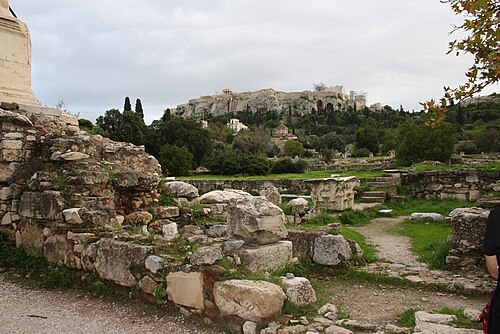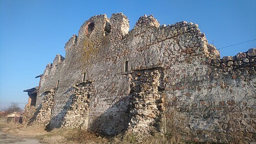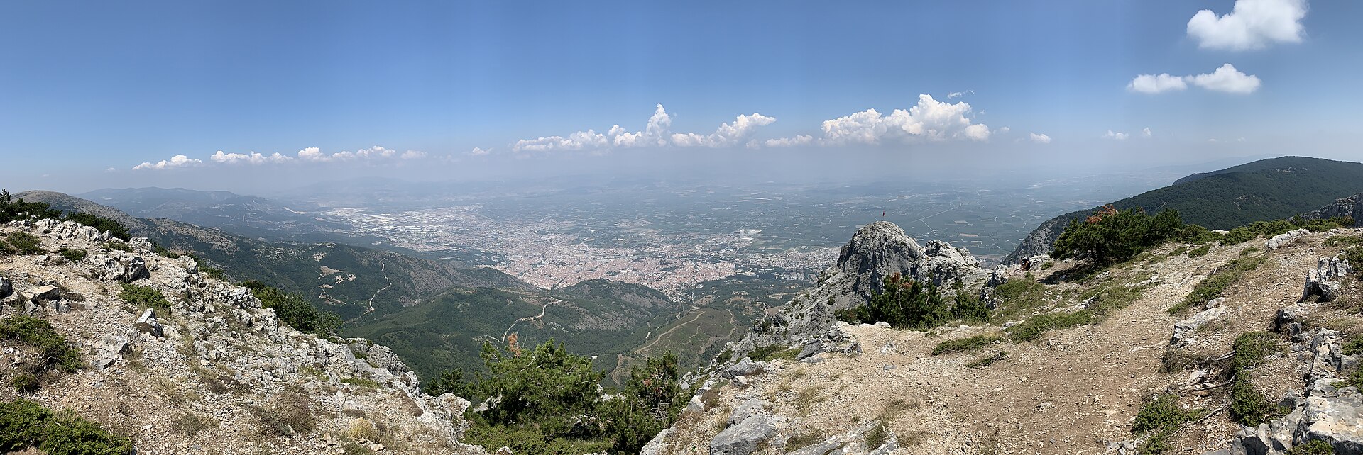
Usturumcalı Halil Efe Anıt Mezarı
Usturumcalı Halil Efe Anıt Mezarı is an outdoor memorial grave on Yağcı Dağı, in the Eşemenler hamlet of Yenice Mahallesi in Selendi district.
- Must see
- Historic site
- Selendi
City guide · Türkiye
Manisa sits on the Gediz plain about 40 km northeast of İzmir, with Mount Spil rising 1,513 m directly behind it. The old town climbs the mountain's lower slope...
Photograph · Egemenakgul · CC BY-SA 4.0
Set your days, your pace and the hours you actually want to be out. The planner works around closing days and travel time, and leaves room to eat.
Editorial responsibility: Elena Voss · Roavina Travel Editor
Manisa sits on the Gediz plain about 40 km northeast of İzmir, with Mount Spil rising 1,513 m directly behind it. The old town climbs the mountain's lower slopes; everything built since spreads north across the plain.
The city is an Ottoman provincial capital rather than a resort. Süleyman the Magnificent governed here as a prince, and the mosques his family endowed are still the reason to come: the Sultan Mosque of 1522, the Muradiye of 1586 by Mimar Sinan, and the museum that occupies the Muradiye's medrese. Above them the national park holds the Weeping Rock of Niobe and an eight-metre Anatolian relief cut into the cliff along the D250.
Checked 2026-08-23
November · November cools to a 17.6°C mean high in Manisa while rainfall rises to 89.2 mm across about nine wet days.
Ranked by importance — sitelinks, pageviews and heritage status, not editor preference.
63 places match
Category
Typical visit duration
Good for
Interests
Usturumcalı Halil Efe Anıt Mezarı is an outdoor memorial grave on Yağcı Dağı, in the Eşemenler hamlet of Yenice Mahallesi in Selendi district.
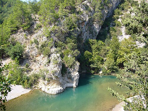
Kurşunlu Şelalesi is a natural waterfall landscape in Allahdiyen Mahallesi, within the Kurşunlu mevkii of Salihli district in Manisa. Kurşunlu Creek runs through a wooded setting where waterfalls, stream beds and dense tree cover define the experience.
Çakırca Basalt Columns are a natural volcanic formation in Çakırca village, within Manisa’s Kula district. The dark rock belongs to the landscape of the Kula Volcanic Geopark and is associated with first-stage lava flows of the Burgaz volcanites.
Eski Kilise is a ruined historic Christian place of worship in Kula, a district of Manisa province.
Acısu Sıcak Su Kaynağı is a natural hot spring in Manisa province, on the Kula–Selendi road near the Gediz River and roughly 18 kilometres from Kula.
Tabak Deresi Dev Kazanları is a natural geosite in Manisa’s Kula-Salihli UNESCO Global Geopark, shaped by the Tabak River rather than built as a conventional attraction.
Aktüel Traverten Oluşumu is the Cambazlı travertine formation near the Urganlı geothermal area in Turgutlu district, Manisa. It is an outdoor geological landscape within the Turgutlu Neogene basin, at the western end of the Gediz Graben.
Ahlatlı Tepecik is a höyük, or settlement mound, on Marmara Lake’s southern shore, about 800 metres west of Tekelioğlu Mahallesi in Manisa’s Salihli area. Its significance lies in the archaeological evidence preserved within a modest rise beside the lake.
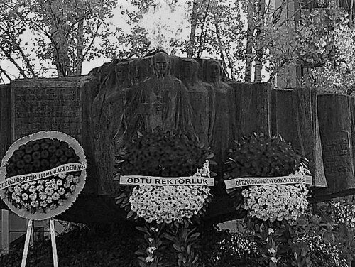
Atatürk Anıtı, officially named Atatürk ve Milli Egemenlik Anıtı, stands in Cumhuriyet Meydanı in Manisa’s Şehzadeler district.
Şehitlik Anıtı is a memorial landmark at the lower part of Alparslan Türkeş Meydanı on Turhan Alakent Caddesi in Alaşehir, Manisa.
6 Eylül Şehitleri Anıtı is a town-centre memorial in Gölmarmara, Manisa Province, set near Merkez Park.
Demokrasi Meydanı is an open-air civic square in central Manisa’s Şehzadeler district, known in official notices as 15 Temmuz Demokrasi Meydanı.
DSM is an open-air monument in Salihli, within Manisa province, set in the everyday urban landscape rather than inside a museum or visitor complex.
M.Kemal Atatürk Havuzu is a compact civic memorial in Salihli, Manisa, positioned at approximately 38.48308° north and 28.12486° east.
18 Mart Şehitleri Anıtı is a dedicated Çanakkale remembrance complex in Manisa’s Laleli Mahallesi, on Mimar Sinan Bulvarı beside the Manisa–İzmir road.
Apollonis is an ancient settlement in Manisa Province’s Akhisar district, identified with the rural remains around Konurca Kalesi. The site is reached from the vicinity of Mecidiye/Palamut village, with the archaeological area lying approximately 2 kilometres north of the village.
Koca Bektaş Dede Türbesi stands in Beyoba Mahallesi, within Manisa’s Akhisar district. The municipality presents the site as the Koca Bektaş Dede Dergâhı and a hayır alanı, meaning that the tomb belongs to a wider devotional and charitable setting.
Akhisar Kalesi is the separately mapped castle feature that gives a physical focus to Akhisar’s name in central Manisa.
Çakallar is a protected open-air heritage locality on a volcanic hillside near Sindel, also called Akçeşme, in Salihli district, Manisa. Its defining evidence is a group of fossilised human and animal footprints preserved as impressions in volcanic tuff.
Odeon is a compact ancient performance building within Aigai, near Yuntdağıköseler Mahallesi in Yunusemre, Manisa. Its importance comes from being a distinct cultural space inside a hilltop settlement, not from functioning as a modern theatre.
TEPE MEZARI
Tepe Mezarı is a compact archaeological site in Ragıpbey Mahallesi, at the heart of Akhisar in Manisa. Its remains belong to Thyateira, the ancient city whose name survives in Akhisar’s historical identity.
Merkez Çarşı'yı Canlandırma Projesi (Özhan) identifies an urban redevelopment project in Akhisar’s Merkez Çarşı, within Şeyhisa Mahallesi, rather than a completed visitor attraction. The project concerns an excavation area in the town centre where commercial renewal intersects with archaeological history.
Ancient Sardis Ruins preserve Sardis, capital of the Lydian Kingdom, in Sart in Salihli district of Manisa. Lydian, Persian, Hellenistic, Roman and Byzantine layers meet across this open archaeological landscape.
Yarenli Dede Türbesi is a named türbe, or tomb, in the rural Gördes area of Manisa Province.
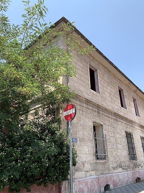
Yeni Han
Yeni Han is a two-storey trading inn in Şehzadeler, Manisa, organised around an internal courtyard. Its identity comes from this inward-facing arrangement: rooms and businesses meet the open centre, creating a compact architectural space within the city’s everyday commercial fabric.
District boundaries come from OSM administrative relations, so a district page holds exactly the places inside it — plus, for the islands and the coast, the nearest district by proximity.
Manisa reads as two strips: the historic quarter on the slope, and the modern city on the plain below it. The two central districts follow that split — Şehzadeler holds the Ottoman core, Yunusemre the newer development and the Celal Bayar University campus.
Everything a visitor comes for is in Şehzadeler, and it is walkable. The Sultan Mosque, the Muradiye and the museum stand within a few hundred metres of each other on the slope, and the bazaar streets run downhill from them. The hill attractions begin roughly 1 km south of the centre, where the streets give out and the national park starts.
North of that line the city is a working Aegean provincial capital: apartment blocks, the university, industry on the Gediz plain. It is not hostile to visitors, it simply has nothing for them. Plan on foot in Şehzadeler and on wheels for anything above or beyond it.
Checked 2026-08-23
Manisa is a walking city in the part that matters, and a driving one everywhere else.
The central monuments sit within a few hundred metres of each other on the slope, so the Ottoman core needs no transport at all. Town buses run the main streets for the rest of the city. Mount Spil National Park, the Weeping Rock and the Cybele relief are outside walking range — the relief is carved into the cliff along the D250 — and a car or a taxi is the practical way to reach them.
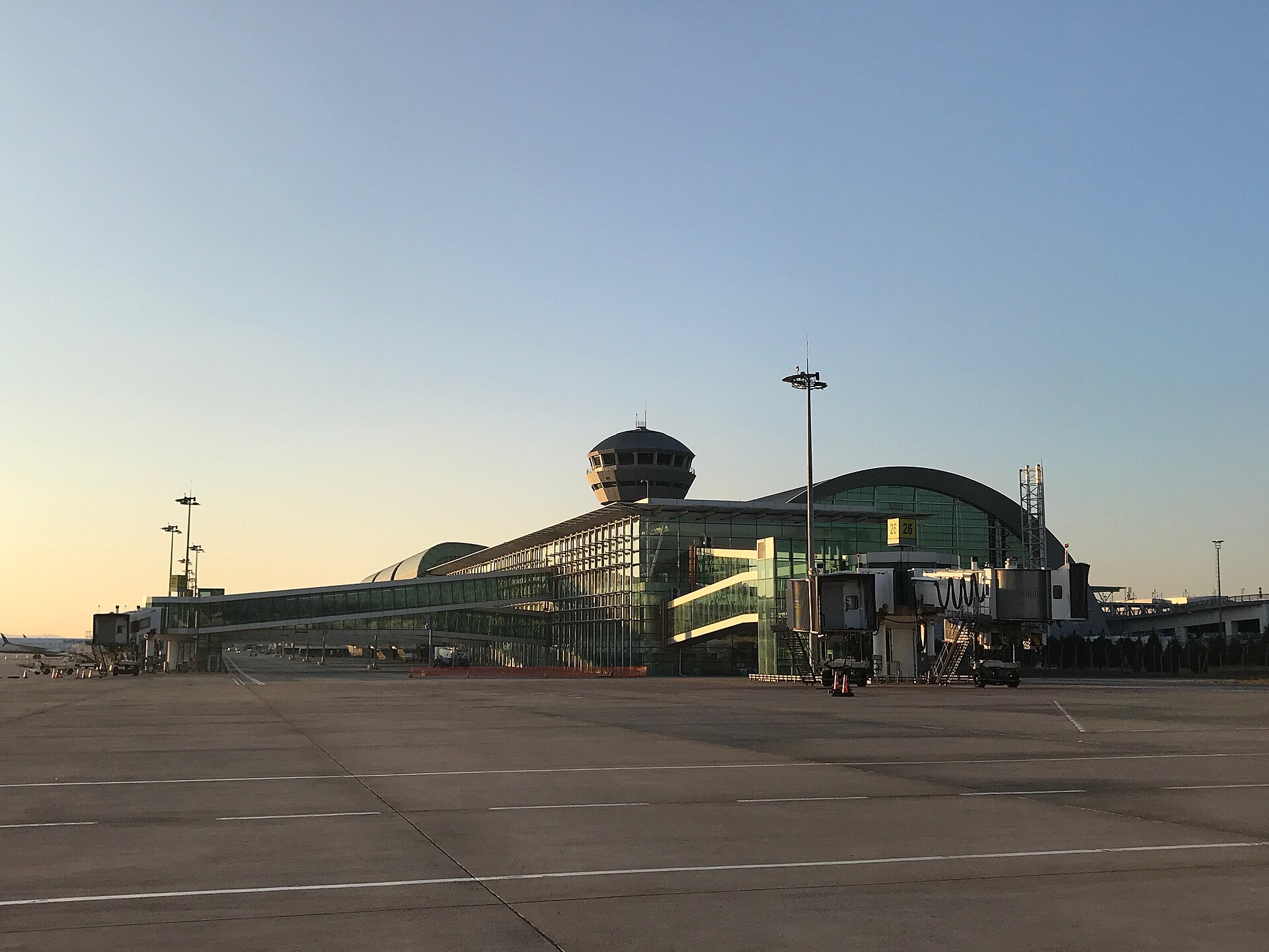
Arriving is easy from İzmir. Four trains a day leave İzmir Basmane and take about 90 minutes; local buses cover the same 40 km in about 35 minutes on the six-lane highway. Buses running between İstanbul and İzmir call at Manisa, hourly or better, and take about six and a half hours from İstanbul. The nearest airport is İzmir Adnan Menderes, roughly 65 km away.
Checked 2026-08-23
Suggested stay for a first visit: 1–2 days. A second day is worth it only if you are going up Mount Spil or out to the Cybele relief, both of which need a car.
Every year from 21 to 24 March, at the Sultan Mosque. The paste is prepared from 41 spices and herbs, wrapped in paper, and thrown from the minaret and domes to the crowd below. UNESCO inscribed the festival on its Representative List of the Intangible Cultural Heritage of Humanity in 2012.
Four trains a day leave İzmir Basmane and take about 90 minutes. Local buses cover the same 40 km in about 35 minutes on the six-lane highway. İzmir Adnan Menderes is the nearest airport, roughly 65 km away.
Mount Spil — Mount Sipylus — is the 1,513 m mountain immediately south of the city, and its national park is the reason most Turkish visitors come. It holds forest, wild horses and hiking routes, along with the Weeping Rock associated with the legend of Niobe. The hill attractions start about 1 km south of the centre and a car or taxi is the practical way up.
It works as a day trip: 90 minutes by train each way leaves a full day for the Ottoman core. Stay overnight if you want Mount Spil as well, or if you are here in the last week of March for the Mesir festival, when the city fills.
An eight-metre figure of an Anatolian mother goddess cut into a cliff face along the D250, several kilometres east of the city. It is Hittite work and predates everything Ottoman in Manisa by well over two thousand years.