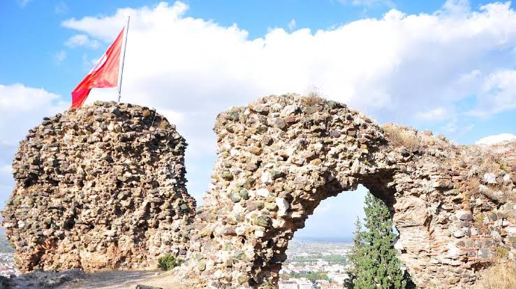
Sandıkkale Citadel
Sandikkale
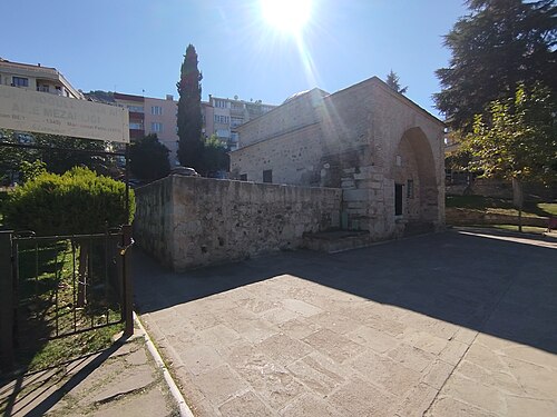
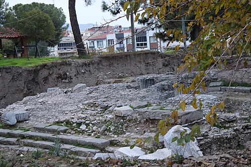
Sandıkkale is the inner citadel of the Byzantine-era Manisa Kalesi, on the north slope of Spil Dağı immediately above Manisa city centre, in the Turgutalp neighbourhood.
- Must see
- Historic monument
- Şehzadeler
City guide · Türkiye
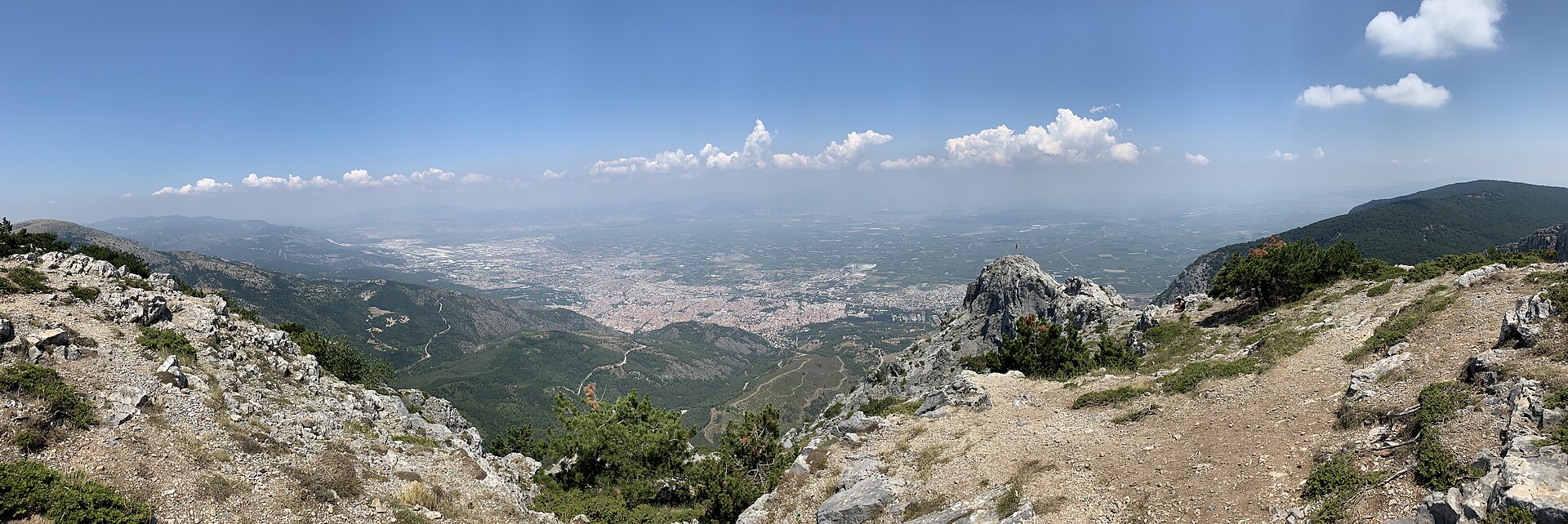
Manisa sits on the Gediz plain about 40 km northeast of İzmir, with Mount Spil rising 1,513 m directly behind it. The old town climbs the mountain's lower slope...
Photograph · Egemenakgul · CC BY-SA 4.0
Set your days, your pace and the hours you actually want to be out. The planner works around closing days and travel time, and leaves room to eat.
Reviewed by Elena Voss · Roavina Travel Editor
Manisa sits on the Gediz plain about 40 km northeast of İzmir, with Mount Spil rising 1,513 m directly behind it. The old town climbs the mountain's lower slopes; everything built since spreads north across the plain.
The city is an Ottoman provincial capital rather than a resort. Süleyman the Magnificent governed here as a prince, and the mosques his family endowed are still the reason to come: the Sultan Mosque of 1522, the Muradiye of 1586 by Mimar Sinan, and the museum that occupies the Muradiye's medrese. Above them the national park holds the Weeping Rock of Niobe and an eight-metre Anatolian relief cut into the cliff along the D250.
Checked 2026-08-23
September · September eases to a 30.8°C mean high in Manisa with only 19.6 mm of rain, but afternoons remain hot.
Ranked by importance — sitelinks, pageviews and heritage status, not editor preference.
95 places match
Category
Typical visit duration
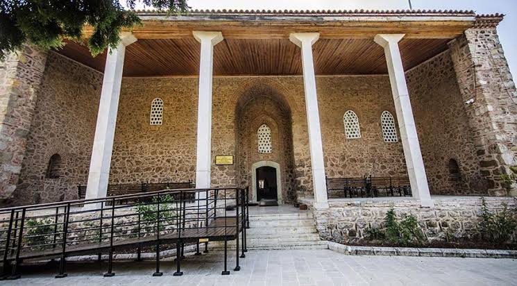
Sandikkale
Sandıkkale is the inner citadel of the Byzantine-era Manisa Kalesi, on the north slope of Spil Dağı immediately above Manisa city centre, in the Turgutalp neighbourhood.
The Basilica of St John stands in the middle of modern Alaşehir, on the ground of ancient Philadelphia, one of the seven cities addressed directly in the Book of Revelation.
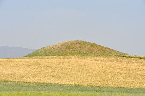
Giges Tümülüsü
The Tumulus of Gyges — Giges Tümülüsü on local maps, and known archaeologically as Karnıyarık Tepe — is the second-largest of the more than a hundred royal Lydian mounds gathered in the Bin Tepe field north of Sart, in Salihli…
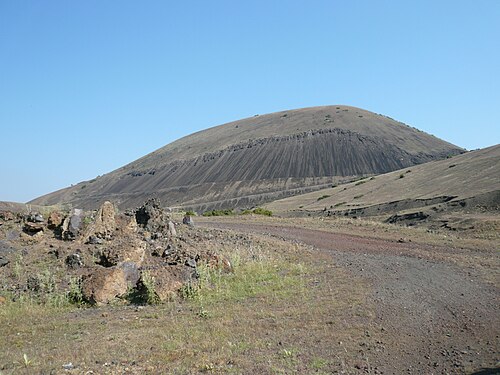
Kula
Kula Volcano is an extinct cinder cone in the Kula volcanic field, the feature that gives the field and the surrounding Kula-Salihli Geopark their name.
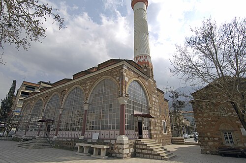
Hatuniye Cami
The Hatuniye Camii was built in 1490–91 by Şehzade Şehinşah, a son of Bayezid II, in honour of his mother Hüsnüşah Hatun.
Manisa Mevevihane Müzesi
The Manisa Mevlevihane is a Mevlevi dervish lodge built in 1368-69 by İshak Çelebi, grandson of the Saruhanoğlu ruler Saruhan Bey, on a slope at the foot of Spil Mountain.
Saruhan Bey Türbesi
The tomb of Saruhan Bey is the oldest dated monument in Manisa's historic quarter, built in 1345 by his grandson İshak Çelebi.
Manisa Hafsa Sultan Şifahanesi
The Hafsa Sultan Hospital Museum is the surviving hospital wing of the Sultan Camii complex, the külliye Ayşe Hafsa Sultan — wife of Selim I and mother of Süleyman the Magnificent — commissioned in Manisa in 1522, where she lived…
Or Yehuda Tarım Okulu
Or Yehuda Agriculture School is the surviving building of a Jewish agricultural colony and school founded near Akhisar in 1899, in what is today the Kayalıoğlu neighbourhood of Akhisar district.
Muradiye Cami
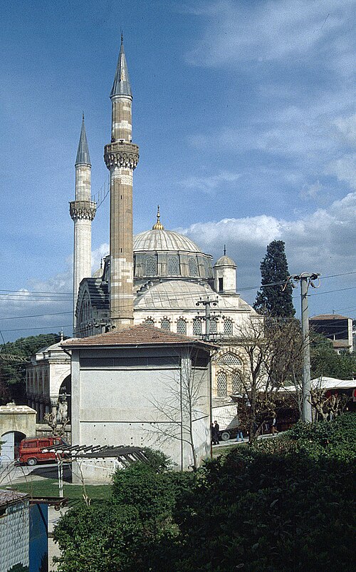
The Muradiye is the mosque Mimar Sinan designed for Manisa, built between 1583 and 1586 for Sultan Murad III. It replaced a smaller mosque begun on the site in 1571 and is the finest Ottoman building in the city.
Kuva-yi Milliye ve Cumhuriyet Anıtı
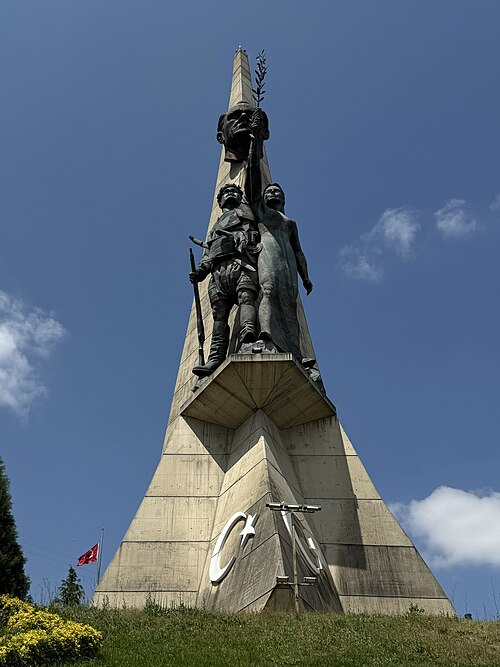
The Kuva-yi Milliye ve Cumhuriyet Anıtı is a 63-metre monument on the southern approach to Manisa, and it is the tallest thing a visitor arriving by road will see.
Hastane Höyüğü
Hastane Höyüğü, the Hospital Mound, is an archaeological tell within the same site area as ancient Thyatira, in Akhisar, Manisa province.
Dombaycıoğlu Hanı
Dombaycıoğlu Han is a former Ottoman caravanserai in the middle of Akhisar's market district, built in 1823 by a local merchant, Dombaycıoğlu Mehmet Ağa, as trade through the town grew.
Turgutlu Saat Kulesi
Turgutlu Saat Kulesi is a civic clock tower in Orta Park, central Turgutlu. The landmark belongs to the town’s public centre and is best visited as part of an urban walk.
Sosandra Kalesi
Sosandra Kalesi, also known as Yoğurtçu Kalesi, is a ruined hilltop fortress near Uzunburun Mahallesi in Yunusemre district. The castle occupies a rocky natural rise outside Manisa, making its setting central to understanding the site.
Hoca Seyfettin Köprüsü
Hoca Seyfettin Bridge is a historic stone crossing in the Gediz River valley, about 13 kilometres north of Kula in Manisa Province.
Tarihi Lokomotif 56507
Tarihi Lokomotif 56507 is a preserved steam locomotive displayed beside Manisa railway station in Şehzadeler. Henschel & Sohn of Kassel built the engine in 1943, and its builder’s construction number is 27741.
Tarihi Lokomotif 56550
Tarihi Lokomotif 56550 is a preserved railway object displayed beside Soma Railway Station in Soma, Manisa.
Mushroom-like ruins is a small, distinctive remnant near Sart in Salihli district of Manisa, within the wider archaeological landscape of Sardes.
Former USAF Jupiter IRBM is an outdoor Cold War historical site in rural Manisa province. It is associated with a United States Air Force Jupiter intermediate-range ballistic-missile launch position in the Kemiklidere area on the Manisa–Akhisar route.
Lav Mağarası
Lav Mağarası is a named lava-cave geosite in Kula Divlit Volcanic Park, within Kula district of Manisa. It is a natural volcanic formation rather than a built attraction with galleries, lighting or exhibition rooms.
Delikli Bent is a natural and historic rock formation in the Selendi River bed, in Yıldız neighbourhood of Selendi district, Manisa. The site is also known locally as Delik Düven.
Meryem Ana Kilisesi is a former Greek Orthodox church in Zaferiye Mahallesi, central Kula, on Mustafa Sapcı Sokak. Its history is tied to Kula’s Rum community, including the Turkish-speaking Karamanlı population.
Hermesin Çizmesi, or Hermes’ Boot, is a natural rock formation near Kazıklı Mahallesi in Selendi district. It stands in the Selendi Çayı Canyon, where the rock’s outline is traditionally understood as Hermes’ right foot.
Eski Gördes Harabeleri are the surviving traces of Gördes’s former hillside settlement in Manisa. The place lies in Eski Gördes, in Atatürk Mahallesi, near Eski Gördes Pazar Camii on the eastern slope of Kepez, also called Tekke Dağı.
District boundaries come from OSM administrative relations, so a district page holds exactly the places inside it — plus, for the islands and the coast, the nearest district by proximity.
Manisa reads as two strips: the historic quarter on the slope, and the modern city on the plain below it. The two central districts follow that split — Şehzadeler holds the Ottoman core, Yunusemre the newer development and the Celal Bayar University campus.
Everything a visitor comes for is in Şehzadeler, and it is walkable. The Sultan Mosque, the Muradiye and the museum stand within a few hundred metres of each other on the slope, and the bazaar streets run downhill from them. The hill attractions begin roughly 1 km south of the centre, where the streets give out and the national park starts.
North of that line the city is a working Aegean provincial capital: apartment blocks, the university, industry on the Gediz plain. It is not hostile to visitors, it simply has nothing for them. Plan on foot in Şehzadeler and on wheels for anything above or beyond it.
Checked 2026-08-23
Manisa is a walking city in the part that matters, and a driving one everywhere else.
The central monuments sit within a few hundred metres of each other on the slope, so the Ottoman core needs no transport at all. Town buses run the main streets for the rest of the city. Mount Spil National Park, the Weeping Rock and the Cybele relief are outside walking range — the relief is carved into the cliff along the D250 — and a car or a taxi is the practical way to reach them.
Arriving is easy from İzmir. Four trains a day leave İzmir Basmane and take about 90 minutes; local buses cover the same 40 km in about 35 minutes on the six-lane highway. Buses running between İstanbul and İzmir call at Manisa, hourly or better, and take about six and a half hours from İstanbul. The nearest airport is İzmir Adnan Menderes, roughly 65 km away.
Checked 2026-08-23
One full day covers the Ottoman core in Şehzadeler on foot — the Sultan Mosque, the Muradiye and the museum stand within a few hundred metres of each other. A second day is worth it only if you are going up Mount Spil or out to the Cybele relief, both of which need a car.
Every year from 21 to 24 March, at the Sultan Mosque. The paste is prepared from 41 spices and herbs, wrapped in paper, and thrown from the minaret and domes to the crowd below. UNESCO inscribed the festival on its Representative List of the Intangible Cultural Heritage of Humanity in 2012.
Four trains a day leave İzmir Basmane and take about 90 minutes. Local buses cover the same 40 km in about 35 minutes on the six-lane highway. İzmir Adnan Menderes is the nearest airport, roughly 65 km away.
Mount Spil — Mount Sipylus — is the 1,513 m mountain immediately south of the city, and its national park is the reason most Turkish visitors come. It holds forest, wild horses and hiking routes, along with the Weeping Rock associated with the legend of Niobe. The hill attractions start about 1 km south of the centre and a car or taxi is the practical way up.
It works as a day trip: 90 minutes by train each way leaves a full day for the Ottoman core. Stay overnight if you want Mount Spil as well, or if you are here in the last week of March for the Mesir festival, when the city fills.
An eight-metre figure of an Anatolian mother goddess cut into a cliff face along the D250, several kilometres east of the city. It is Hittite work and predates everything Ottoman in Manisa by well over two thousand years.