Paris is 105.4 km² holding 2,047,602 people, wrapped in twenty arrondissements that spiral outward from the Louvre. Almost everything a visitor comes for is inside that spiral, and most of it is walkable.
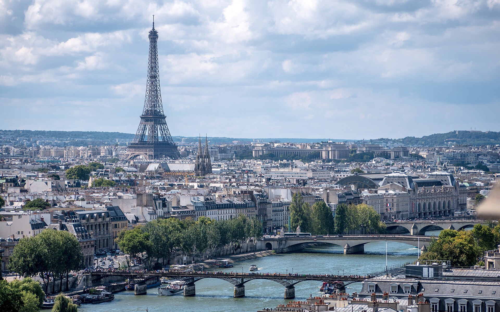
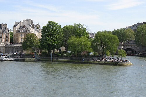
The Seine cuts the city in two and everything is described in relation to it. The Right Bank to the north holds the commerce and the great institutions; the Left Bank to the south holds the universities and the bookshops. Between them the Île de la Cité and the Île Saint-Louis are where the city started.
The Tuileries is the first royal garden in Europe that let the public in, and it has outlived the palace it was built for. Catherine de' Medici created it in 1564.
The Jardin du Luxembourg is a 23-hectare formal garden on the Left Bank, laid out from 1612 for a queen who wanted a Florentine garden in Paris and built by the French Senate, which still owns the palace at its…
The Bois de Boulogne is a former royal hunting forest turned into an English-style public park, and at 846 hectares it covers more than double the area of New York's Central Park.
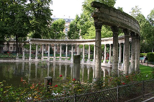
Parc Monceau began in 1769 as a private pleasure garden for Philippe d'Orleans, Duke of Chartres, laid out by the writer and painter Louis Carrogis, known as Carmontelle, in the English landscape style then fashionable as a counterpoint to the…
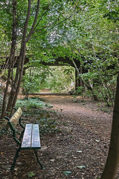
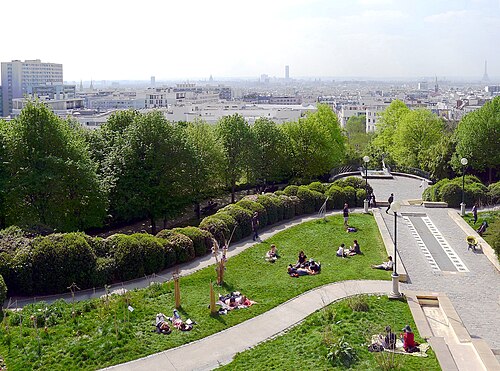
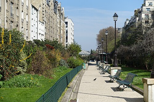
The Petite Ceinture du 16e is a surviving stretch of the Petite Ceinture, the circular railway built between 1852 and 1869 to link Paris's mainline terminus stations for freight and passengers around the edge of the city.
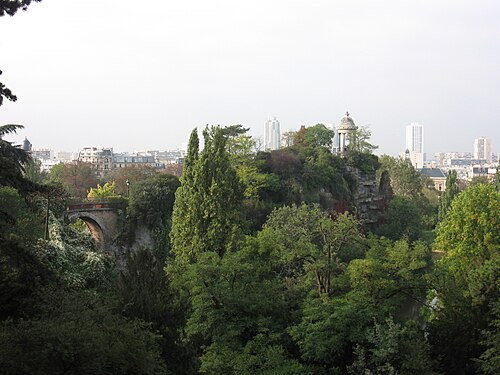
Parc des Buttes-Chaumont sits on ground that had no reason to become a park: a bare, chemically poor hill called Chauve-Mont that once held the Gibbet of Montfaucon, where hanged criminals were displayed from the thirteenth century until 1760, and…
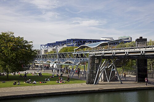
Parc de la Villette occupies the site of the huge Paris abattoirs and wholesale meat market that Napoleon III had built here in 1867 and that were finally cleared away in 1974, leaving 55.5 hectares of northeastern Paris to redevelop.
Place Dauphine is a triangular square at the western tip of the Ile de la Cite, laid out from 1607 on the orders of Henri IV as the second of his two Paris square projects, after the Place Royale …
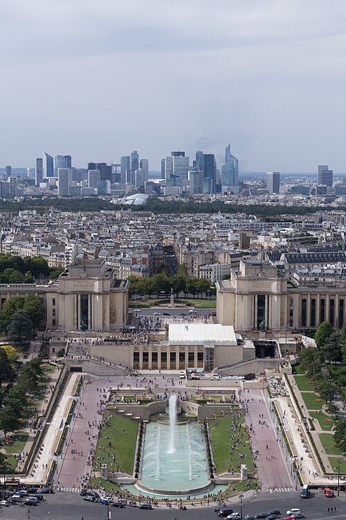
The Jardins du Trocadéro are public gardens located in the 16th arrondissement of Paris, France. They sit on the hillside facing the Eiffel Tower across the Seine River, forming a significant part of the Trocadéro area.
District boundaries come from OSM administrative relations, so a district page holds exactly the places inside it — plus, for the islands and the coast, the nearest district by proximity.
The arrondissements spiral clockwise from the centre: the 1st sits at the Louvre and the Île de la Cité, and the numbers wind outward to the 20th. Learning that shape is the single most useful thing a first-time visitor can do, because every address in the city carries its arrondissement and the number tells you roughly where you are.
The Right Bank — north of the Seine — is the 1st through 4th at the centre, then the grand avenues of the 8th and 16th to the west and Montmartre in the 18th to the north. The Louvre, the Champs-Élysées, the Opéra and Sacré-Cœur are all Right Bank.
The Left Bank — south — is the 5th, 6th and 7th: the Latin Quarter, Saint-Germain, the Panthéon, the Musée d'Orsay and the Eiffel Tower. It is the older-feeling half and the one with the bookshops.
The Périphérique, completed in 1973, rings the whole of it. Inside is Paris; outside is the metropolitan area of 13,320,752 people across 18,940.7 km², which is a different thing.
The Métro, and then walking. Paris is small enough that the two together cover everything.
The Métro opened on 19 July 1900 during the World's Fair and now runs 16 lines — numbered 1 to 14 plus 3bis and 7bis — across 321 stations, 61 of which are interchanges. Stations sit 548 m apart on average, which is why a Métro journey of two stops is usually a walk. It carries 1.523 billion passengers a year, 4.17 million a day.
The RER extends further out into the suburbs and is what takes you to the airports and to Versailles. Châtelet–Les Halles, where five Métro lines meet three RER lines, is the largest interchange and the one to avoid at rush hour.
Single tickets and multi-use passes are both sold, and the Navigo Easy card is the contactless option.
Checked 2026-08-23
Common questions
How many days does Paris need?
Four to five. Three days covers the central monuments — the Louvre, Notre-Dame, the Eiffel Tower, the Champs-Élysées — at a pace that is not punishing. A fourth adds a proper museum day, and a fifth adds Montmartre or a day out at Versailles.
How do the arrondissements work?
They spiral clockwise from the centre. The 1st is at the Louvre and the Île de la Cité and the numbers wind outward to the 20th. Every Paris address carries its arrondissement, so the number tells you roughly where something is.
What is the difference between the Right Bank and the Left Bank?
The Seine. The Right Bank to the north holds the commerce and the great institutions — the Louvre, the Champs-Élysées, the Opéra, Montmartre. The Left Bank to the south holds the universities, the Latin Quarter, the Panthéon, the Musée d'Orsay and the Eiffel Tower.
Is the Métro the best way around?
For anything over a kilometre, yes. It opened on 19 July 1900 and runs 16 lines across 321 stations, with stations 548 m apart on average — which means a two-stop journey is usually faster on foot.
When is the best time to come?
April to June and September to October. August is when Parisians leave and tourists arrive, which is the worst of both — shuttered restaurants and full museums.
How big is Paris really?
The city proper is 105.4 km² with 2,047,602 people, ringed by the Périphérique completed in 1973. The metropolitan area outside it holds 13,320,752 people across 18,940.7 km².
Cookie choices
Nothing non-essential is set before you choose, in regions where consent is required. If you decline, ads still appear and analytics is switched off entirely.







.jpg)